
GNISHIKADZOR. GEOGRAPHY AND GEOLOGY
04.09.2019
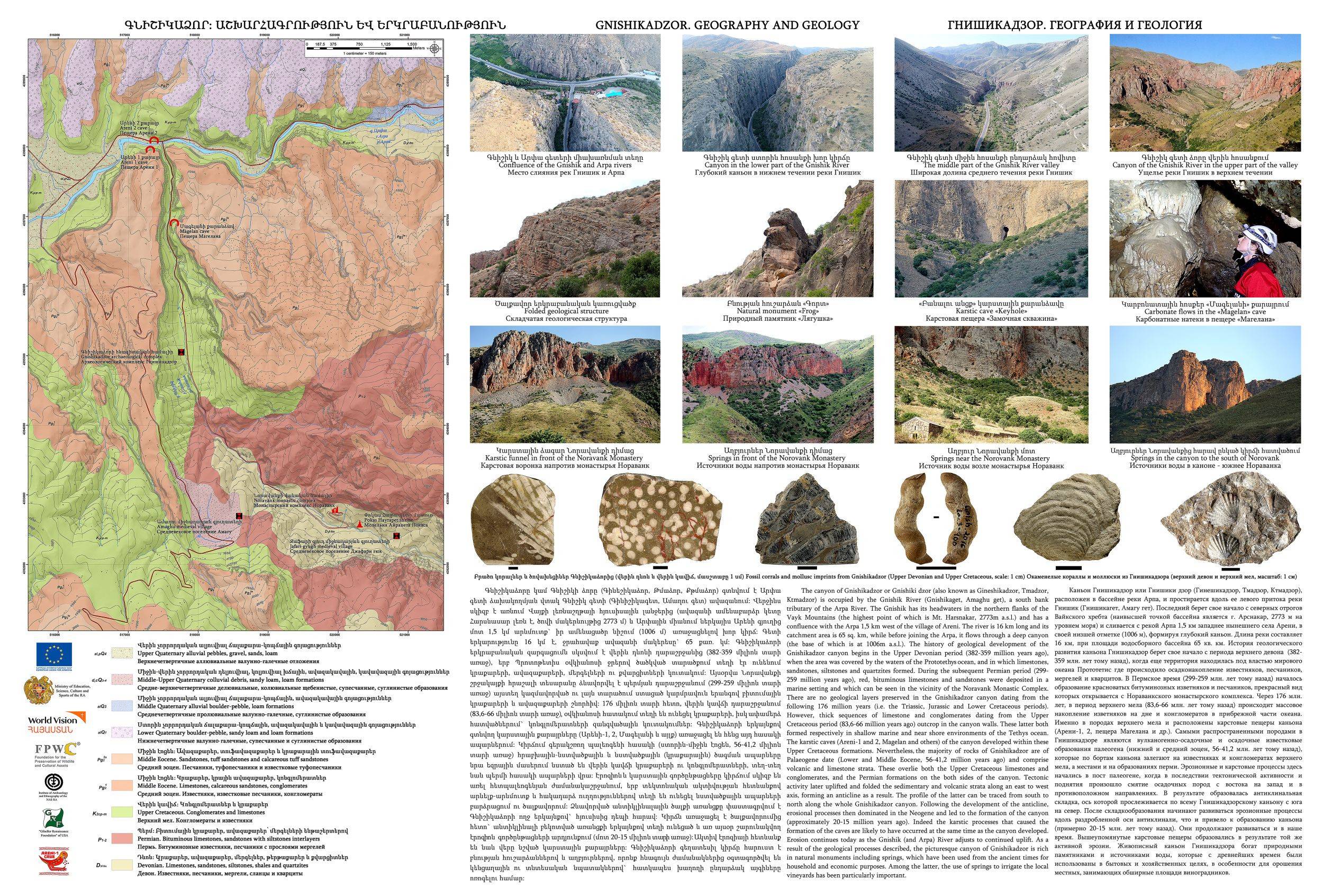
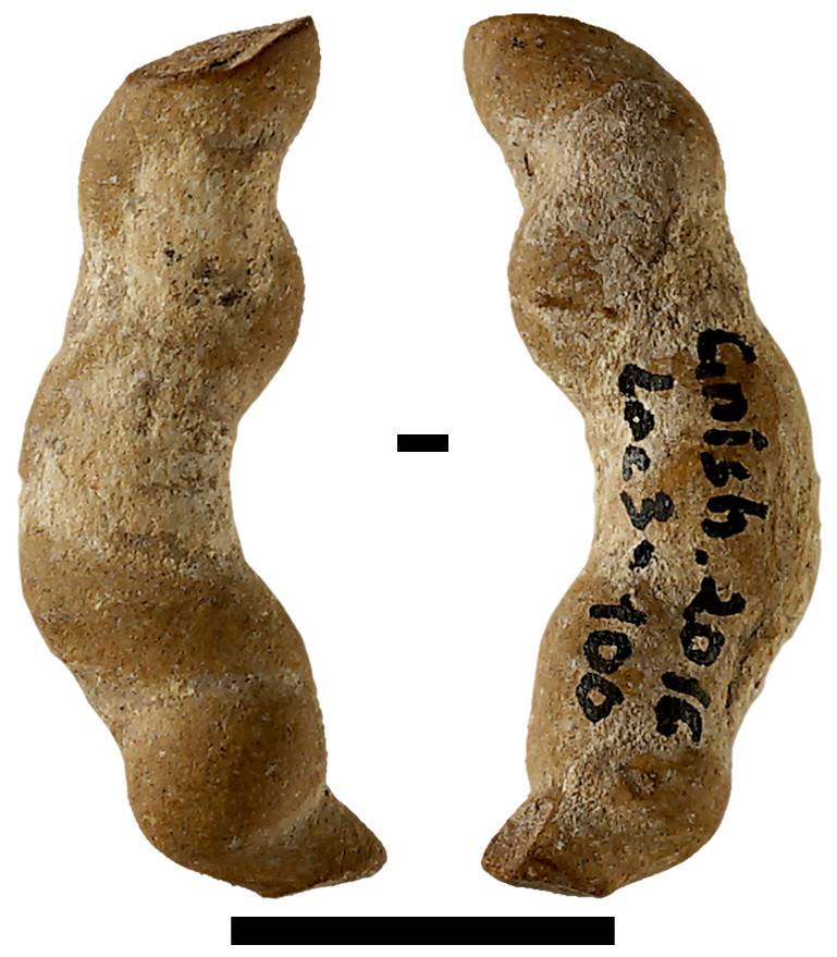
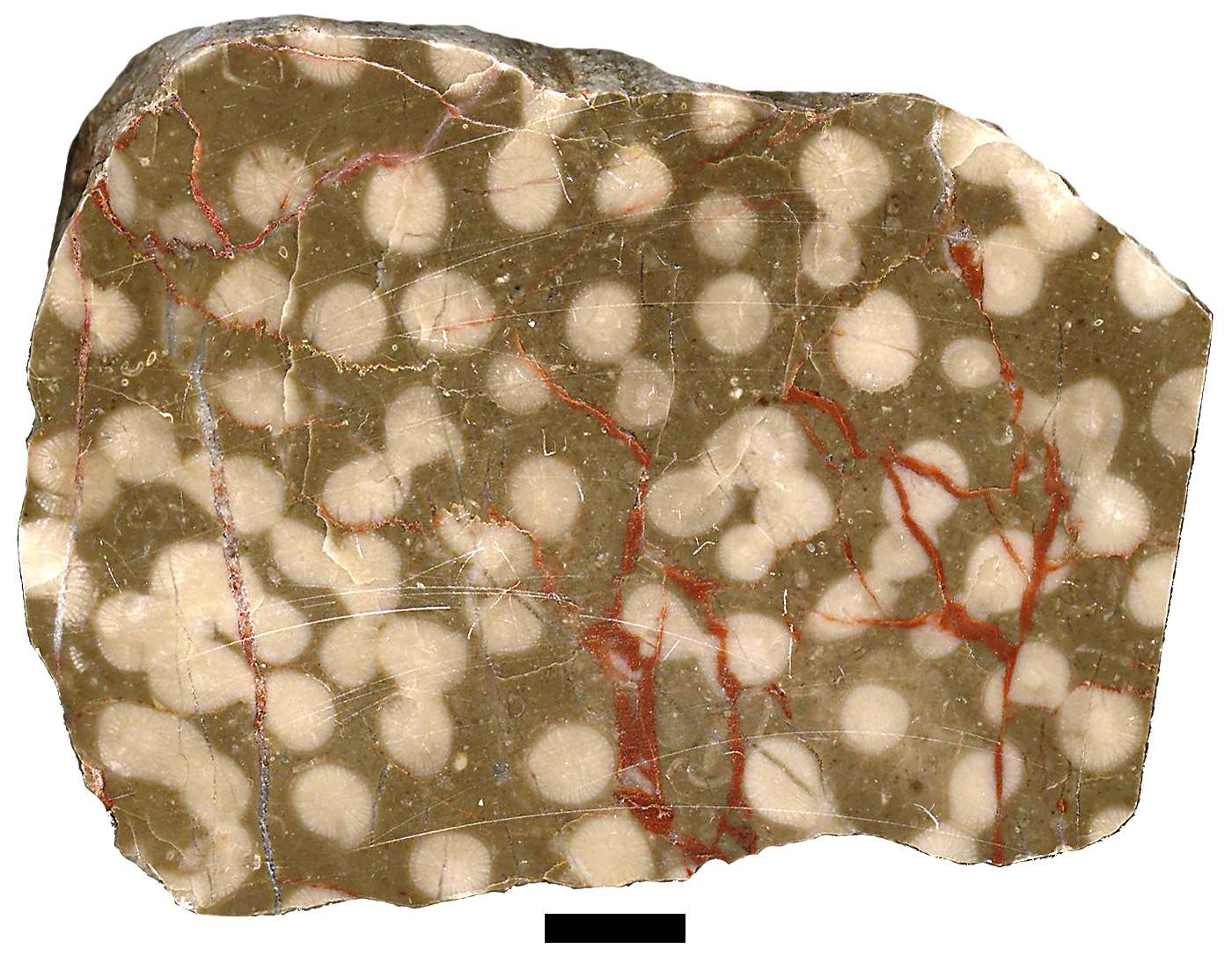
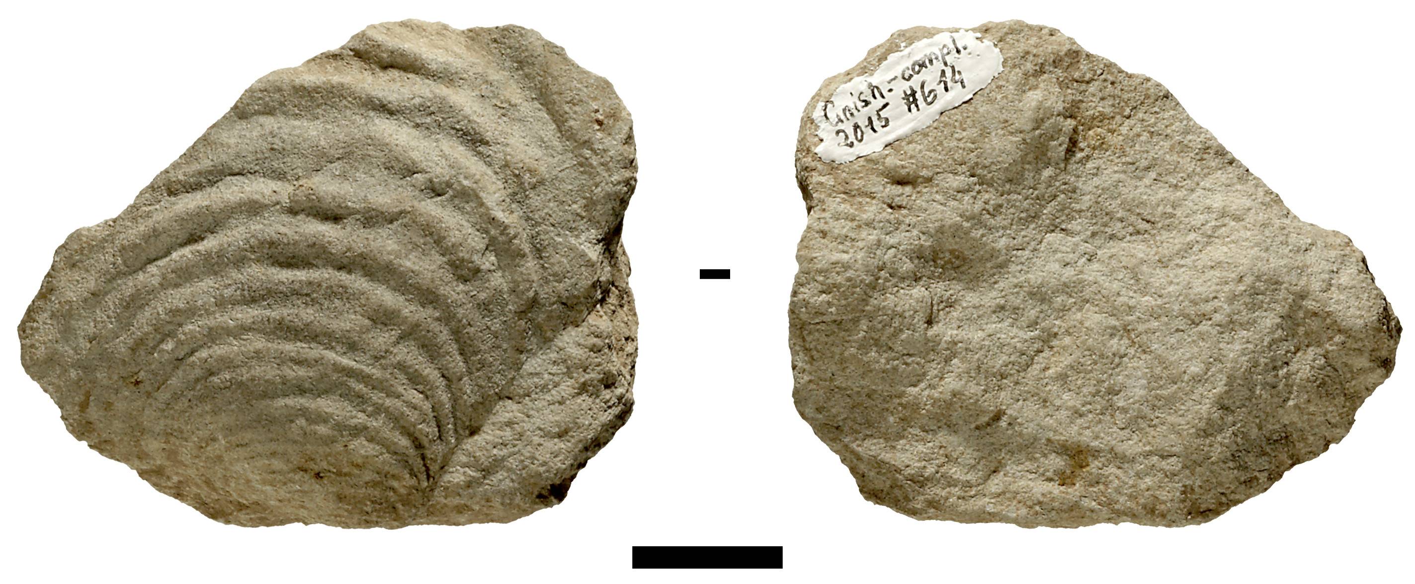
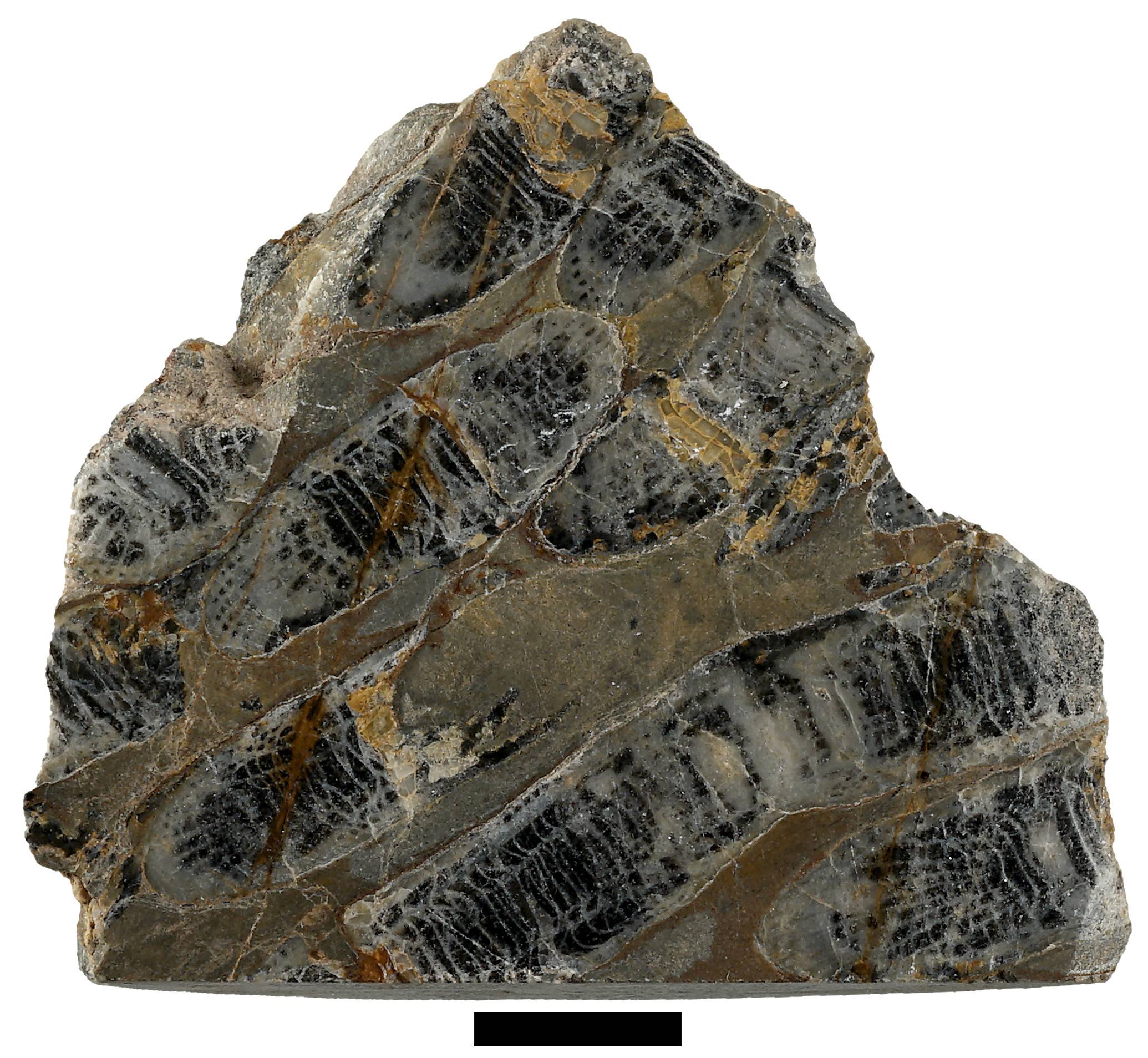
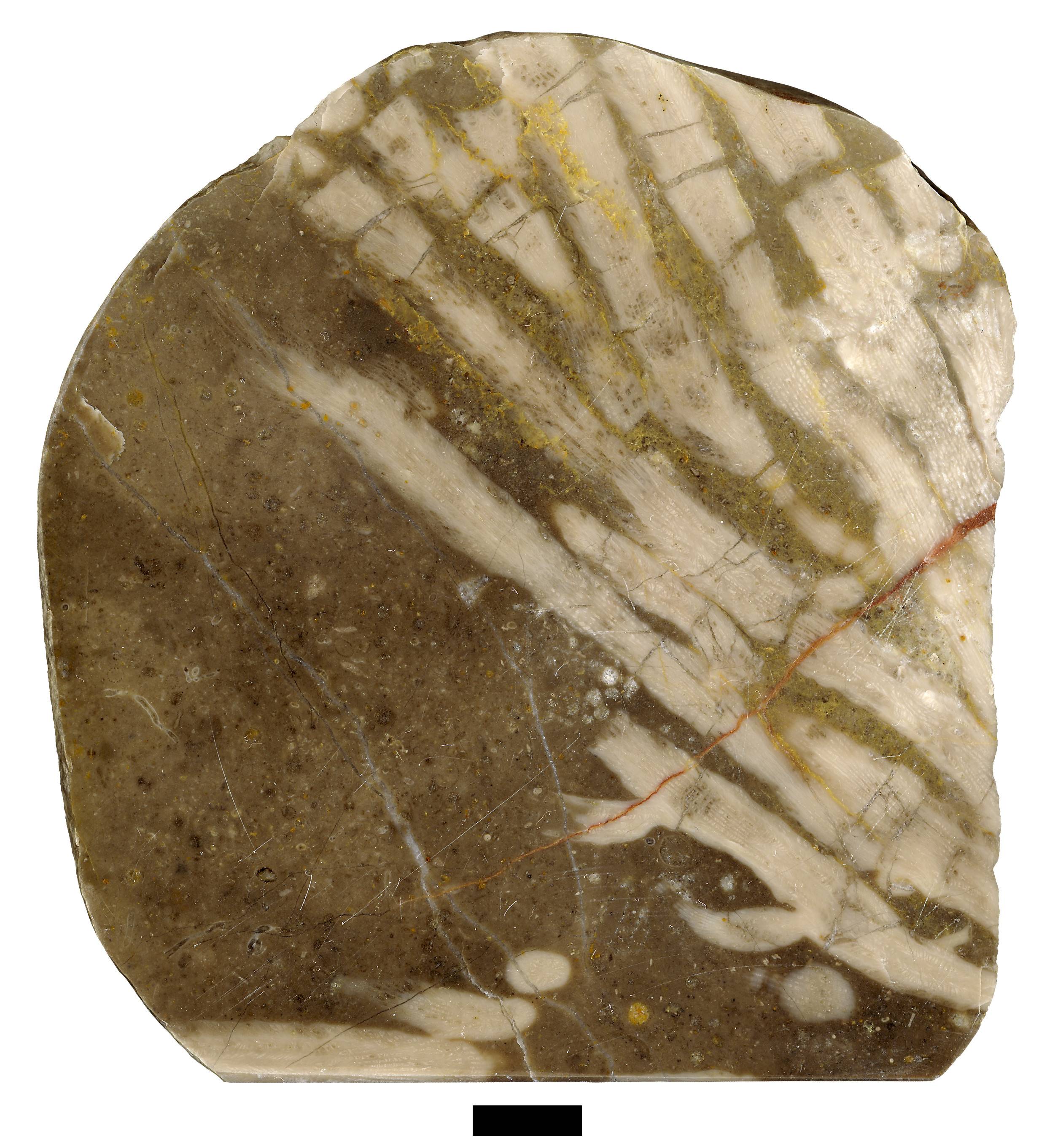
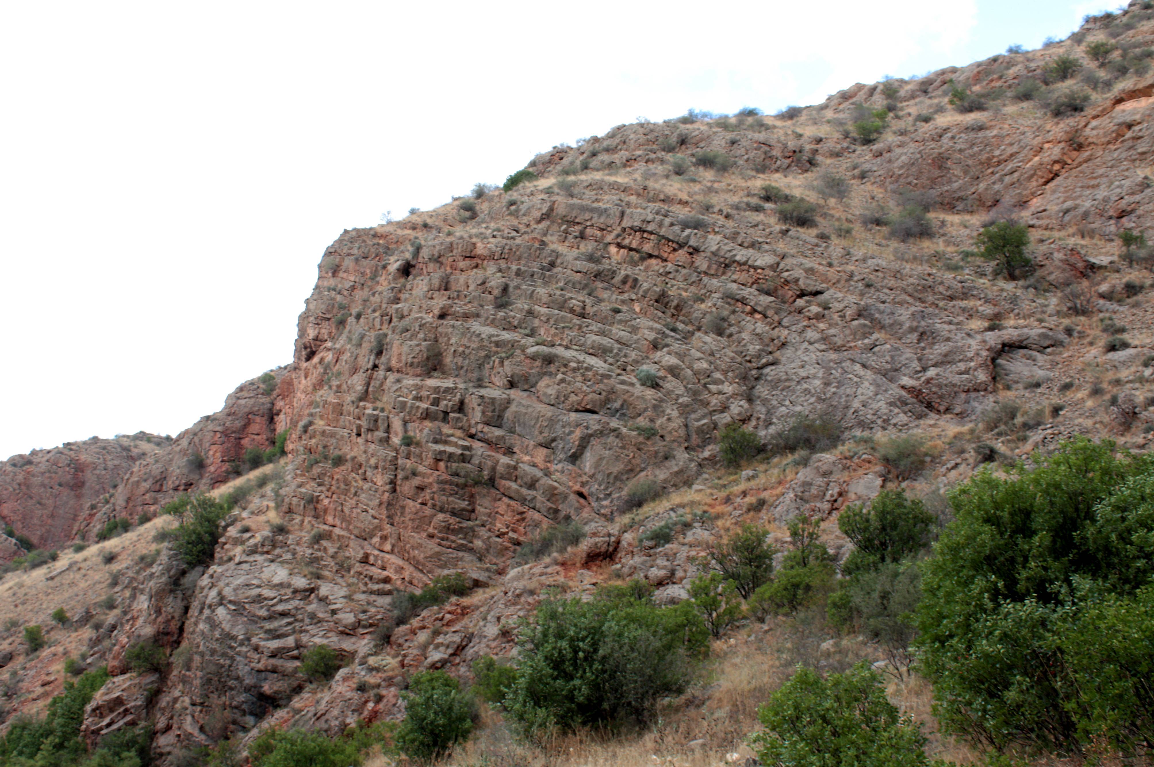
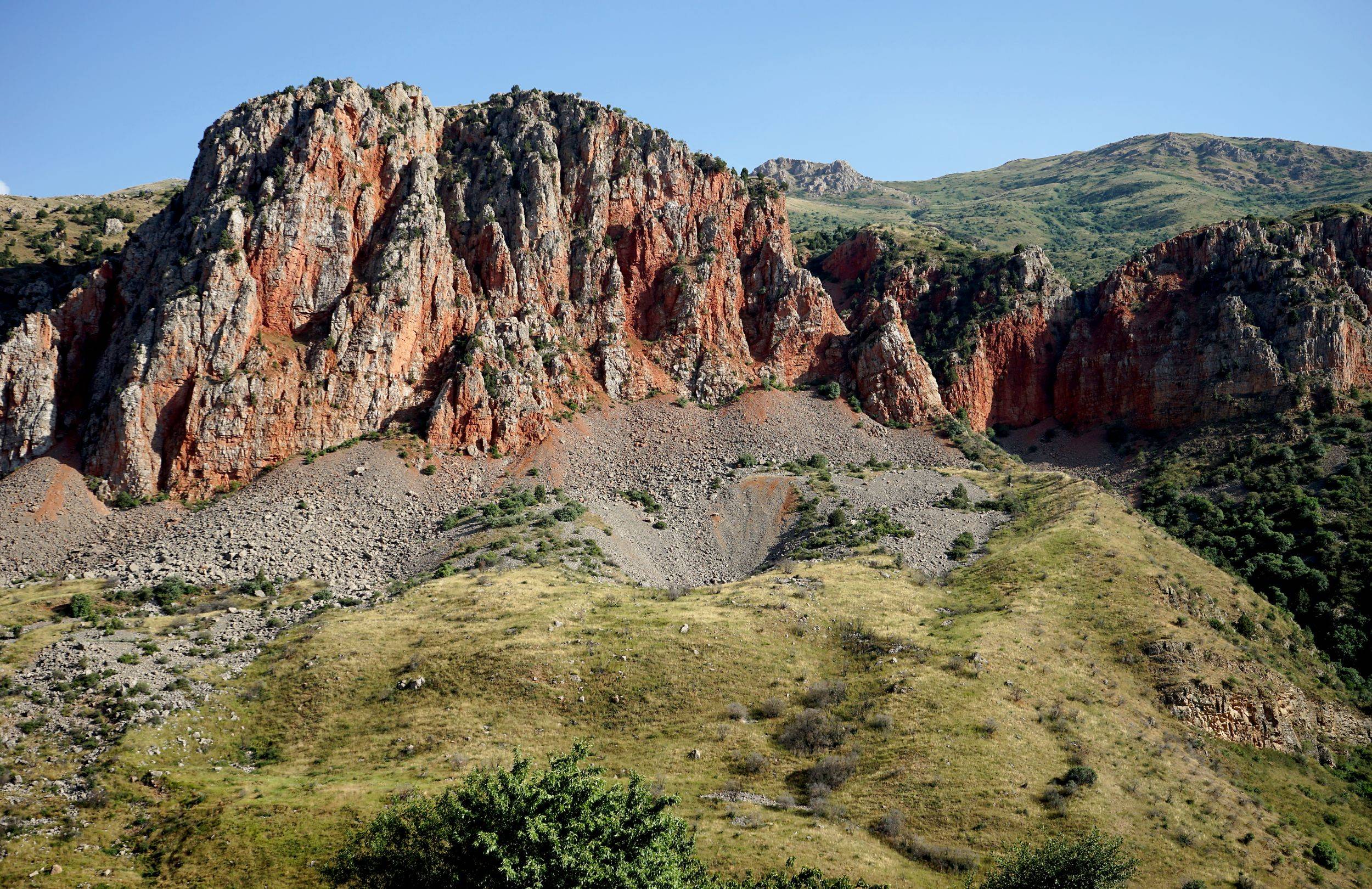
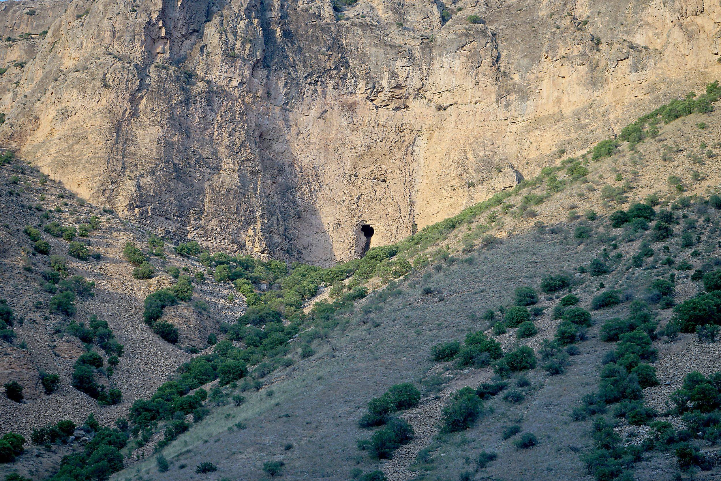
The canyon of Gnishikadzor or Gnishiki dzor (also known as Gineshikadzor, Tmadzor, Ktmadzor) is occupied by the Gnishik River (Gnishikaget, Amaghu get), a south bank tributary of the Arpa River. The Gnishik has its headwaters in the northern flanks of the Vayk Mountains (the highest point of which is Mt. Harsnasar, 2773m a.s.l.) and has a confluence with the Arpa 1,5 km west of the village of Areni. The river is 16 km long and its catchment area is 65 sq. km, while before joining the Arpa, it flows through a deep canyon (the base of which is at 1006m a.s.l.). The history of geological development of the Gnishikadzor canyon begins in the Upper Devonian period (382-359 million years ago), when the area was covered by the waters of the Prototethys ocean, and in which limestones, sandstones, siltstones and quartzites formed. During the subsequent Permian period (299-259 million years ago), red, bituminous limestones and sandstones were deposited in a marine setting and which can be seen in the vicinity of the Noravank Monastic Complex. There are no geological layers preserved in the Gnishikadzor canyon dating from the following 176 million years (i.e. the Triassic, Jurassic and Lower Cretaceous periods). However, thick sequences of limestone and conglomerates dating from the Upper Cretaceous period (83,6-66 million years ago) outcrop in the canyon walls. These latter both formed respectively in shallow marine and near shore environments of the Tethys ocean. The karstic caves (Areni-1 and 2, Magelan and others) of the canyon developed within these Upper Cretaceous formations. Nevertheless, the majority of rocks of Gnishikadzor are of Palaeogene date (Lower and Middle Eocene, 56-41,2 million years ago) and comprise volcanic and limestone strata. These overlie both the Upper Cretaceous limestones and conglomerates, and the Permian formations on the both sides of the canyon. Tectonic activity later uplifted and folded the sedimentary and volcanic strata along an east to west axis, forming an anticline as a result. The profile of the latter can be traced from south to north along the whole Gnishikadzor canyon. Following the development of the anticline, erosional processes then dominated in the Neogene and led to the formation of the canyon (approximately 20-15 million years ago). Indeed the karstic processes that caused the formation of the caves are likely to have occurred at the same time as the canyon developed. Erosion continues today as the Gnishik (and Arpa) River adjusts to continued uplift. As a result of the geological processes described, the picturesque canyon of Gnishikadzor is rich in natural monuments including springs, which have been used from the ancient times for household and economic purposes. Among the latter, the use of springs to irrigate the local vineyards has been particularly important.
(9 Images)